-
Date de parution : 10/06/2021
-
Editeur :
Trailblazer
-
EAN : 9781912716135
-
Série :
(-)
-
Support :
Papier
Résumé:
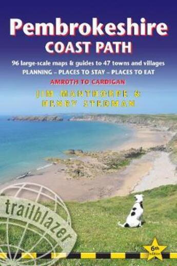
The Pembrokeshire Coast Path follows a National Trail for 186 miles (299km) around the magnificent coastline of the Pembrokeshire Coast National Park in south-west Wales. Renowned for its unspoilt sandy beaches, secluded coves, tiny fishing villages and off-shore islands rich in bird and marine... Voir plus
The Pembrokeshire Coast Path follows a National Trail for 186 miles (299km) around the magnificent coastline of the Pembrokeshire Coast National Park in south-west Wales. Renowned for its unspoilt sandy beaches, secluded coves, tiny fishing villages and off-shore islands rich in bird and marine life, this National Trail provides some of the best coastal walking in Britain.
This practical, comprehensive guide to walking the Pembrokeshire Coast Path provides 96 trail maps and 15 town plans, including planning, places to stay, places to eat, what to see.
* 96 large-scale trail maps and 15 town plans, 14 stage maps and 2 overview maps * Detailed accommodation with reviews: B&Bs, campsites, pubs, hotels, bunkhouses * Where to eat with reviews: cafes, teashops, takeaways, pubs and restaurants * Detailed public transport information with frequency of services * Unique mapping features - In many walking guides the reader has to read a route description then try to relate it to the map. Our guides are easier to use because walking directions, tricky junctions, places to stay and eat, points of interest and walking times are all written onto the maps themselves in the places to which they apply. With their uncluttered clarity, these are not general-purpose maps but fully- edited maps drawn by walkers for walkers. Downloadable GPS waypoints also included.
Includes EXTRA COLOUR OVERVIEW MAPPING * The largest scale walking maps available - At just under 1:20,000 (8cm or 31/8 inches to 1 mile) our maps are bigger than even the most detailed walking maps currently available in the shops.
* An all-in-one guide - Trailblazer guides include practical information not usually found in walking guides to the UK: reviews of places to stay, places to eat, attractions along the way and detailed public transport information showing all access points on the path, for weekend and day walkers.
* Itineraries for all walkers, whether hiking the entire route or sampling highlights on day walks, weekends or short breaks * Flora and fauna - four page full colour flower guide, plus an illustrated section on local wildlife * Green hiking - understanding the local environment and minimizing our impact on it
Donner votre avis


